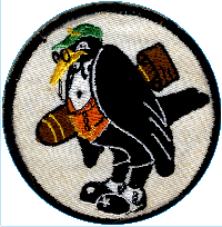
U.S. Navy VPB-118 – “The Old Crows”
Fun with Google Maps - Airstrips of VPB-118
VPB-118 aircrew were stationed at these airfields during the history of the squadron. These maps are interactive; you can drag them from inside the window and open them in larger windows; if you do, try zooming (the scrollwheel zooms in addition to the controls). They are in chronological order, going down the first column and then the second column.
Hutchinson Airbase (now Kansas Soaring Association):
View Larger Map
Crow's Landing, California:
View Larger Map
Kanehoe Naval Air Station:
View Larger Map
Midway Islands, Pacific Ocean:
View Larger Map
Tinian Airfield, Northern Mariana Islands, Pacific Ocean:
View Larger Map
Iwo Jima: Pacific Ocean:
View Larger Map
Vicinity of former Yontan Airfield, Okinawa (roads of Sobe are said to be laid over runways):
View Larger Map